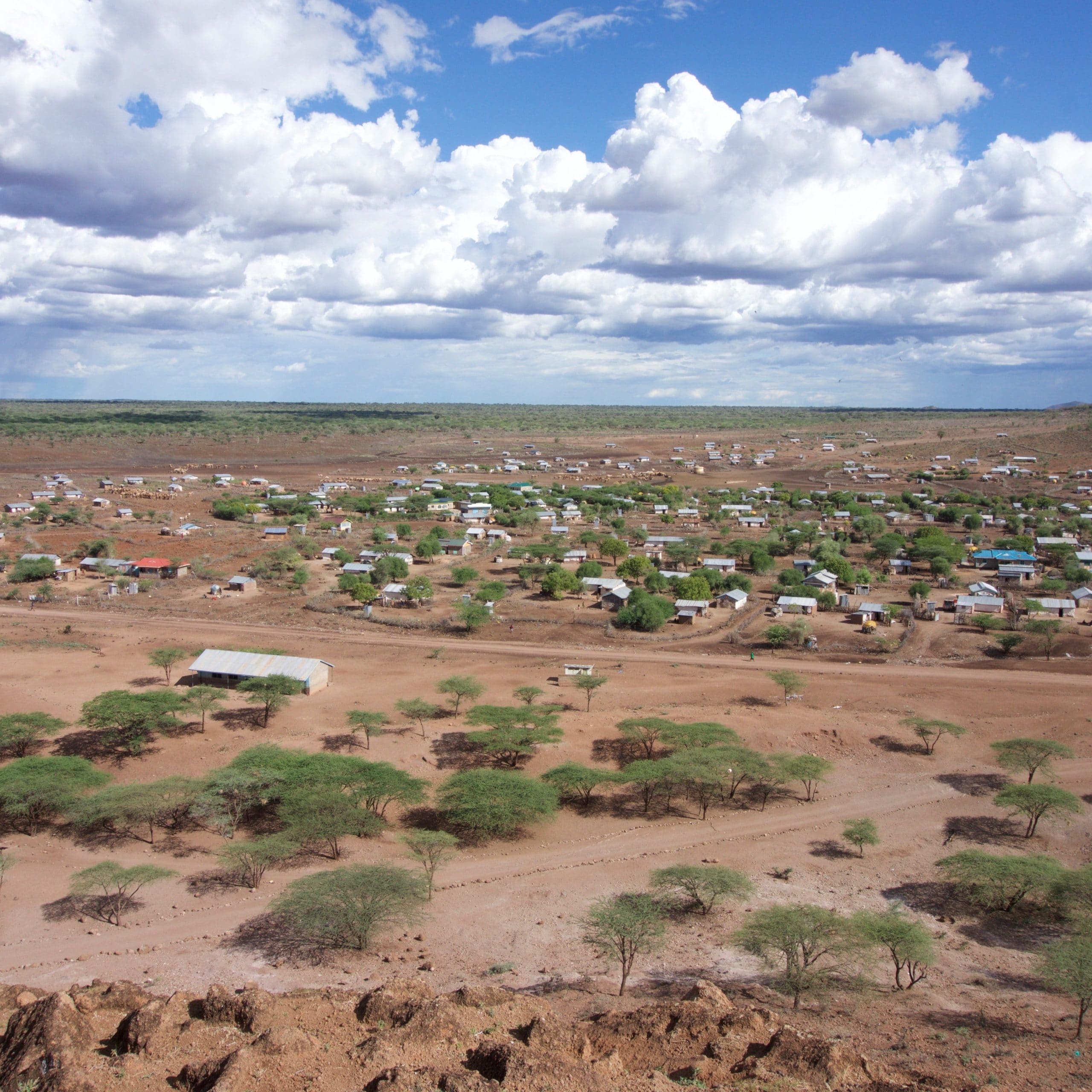
Climate change presents great challenges for dryland regions, especially in communities where socioeconomic livelihoods are tied to the consistency of seasonal rainfall. In the dryland regions of East Africa, drought is a major threat to rainfed agriculture and to drinking water supplies, and regional climate is projected to increase drought frequency and severity. Although there is often consensus about the growing regional threat posed by drought, there is a major disconnect between the climate science (meteorological drought) and assessments of usable water resources (hydrological drought) that support livelihoods. This project, led by the University of Bristol, will focus on two regions within two countries, Ethiopia and Kenya, in the Greater Horn of Africa that have suffered detrimentally from frequent droughts in the last decade. Ultimately, the DRIER project will be applicable to global drylands, which constitute 40% of the Earth’s land surface.
Underpinning the rationale of the DRIER project is the knowledge that affected communities do not engage with the Intergovernmental Panel on Climate Change (IPCC) and they have no capacity to digest or adapt to the consequences of its ensemble forecasts under different emissions scenarios. People in this region require more relevant, timely, and practical information about the propagation of projected droughts into usable water in the ground. They need straightforward answers to a different set of questions. How will regional climate change affect soil moisture and how will that impact on crops or the water table in wells that provide precious drinking water in a parched landscape? How will the water stores change season by season and over coming decades? Furthermore, what adaptation strategies are available to address this challenge and will they remain suitable?
The DRIER project focuses on five core themes: (1) develops the scientific knowledge that links climate to water resources across East Africa within a simple, novel, and flexible modelling framework; (2) translates short-term (seasonal) and long-term (decadal) climate forecasts, as well as various future scenarios of climate change for East Africa into simple gridded maps of shallow (soil moisture) and deep (groundwater recharge) water storage that include assessments of uncertainty; (3) provides data for a pilot mobile phone app that allows people to explore the status of shallow and deep water storage in their area; (4) generates socio-economic knowledge to support communication and future drought preparedness, which recognises the complex social realities and multiple livelihood stresses that populations experience; and (5) utilises effective media communication strategies to reach into local communities to promote drought preparedness and adaptation.

